Scope of Work
SECON and its Partners offer Aerial Photo Mapping services in India for all applications and across all terrains and areas from small city areas to large multi-state areas.
SECON also offers a full range of Digital Photogrammetry processing services
SECON performs Photogrammetry services from both Aerial Photographs and Stereo Satellite Images for all the latest Aerial and Satellite Photography sensors.
Services offered include:
- Aerial Triangulation for Aerial Photos/Exterior Orientation(EO) for Satellite Imagery
- Topographic/Planimetric Mapping and Updating
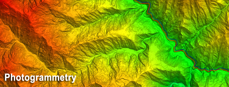
- DEM/DTM/ Contour Generation
- Orthophoto generation/ Mosaicing/ Tiling
- 3D City and Feature Modeling
- Close Range Photogrammetry
- Vision Map and IFSAR Photogrammetry
- GIS Geodatabase Generation
Major Projects
- Narmada Basin Topographic Mapping and Design
- First Indian Airborne LiDAR Survey for Flood Impact Assessment in Rajasthan
- Orthophoto Generation for Mining Application
- Photogrammetry Mapping, LiDAR Classification and Orthophoto Generation
- Orthophoto generation for countywide terrain
- Asset Management for 3,700 km
- Morand and Ganjal complex Project in Narmada Basin
- Delhi Jaipur Expressway Satellite Image Alignment Fixing
- Bangalore Chennai Expressway Satellite Image Alignment Fixing
- Topographic Mapping USA
- USA DEM
- Planimetric & topographic map & 2' contours generation.
- USA DTM collection and DEM Generation
- USA Orthophoto production
- USA City Planimetric Mapping