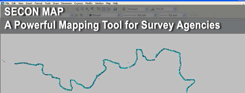
Key Features
- Add new feature codes as and when required.
- Errors in the raster images can be cleaned using SeconMap. The software later converts the pixels in the raster image to the vector mathematical descriptions required by CAD applications. Finally the vectors are compared to the original raster and any required corrections could be made. The result is exported as a CAD file in the DWG format.
- SeconMap has the capability to read the data in whichever order the information is stored. The system is so robust that it can plot from any make of Total Station.
- This helps the surveyor to collect the details in his own format and SeconMap will take care of the rest.
- The surveyor need not change his survey method to fit his data as per the software requirement, but SeconMap fits itself to suit every surveyors methodology.
- Common platform is built to achieve quality and uniformity of data delivered by various contractors in the generation of engineering drawings, resulting in substantial reduction of supervisory staff. Future enhancements of SeconMap :
- Standalone version : The standalone version of SeconMap will function independent of AutoCAD and Microstation.
- Multi window option : Presently SeconMap supports single window interface. The future versions will concentrate on having multiple windows so as to support opening of multiple files simultaneously and plot the drawings.
- Acceptance of raw data : Current version of SeconMap supports ASCII files downloaded from Total Station. The future version will read the raw data directly from the Total Station device and plot the drawing.
- Survey Data Error Correction : Every survey data has some amount of errors. The next version of SeconMap will have features to rectify these errors before plotting the X, Y and Z coordinates.
- In-built generation of Digital Terrain Model (DTM) and Contours : Currently the work is going on to incorporate the automatic generation of DTM and contours within SeconMap so as to provide complete solution under single window.