Design Consultancy and Engineering Services
|
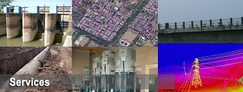
Irrigation, Flood Control and Water Management
More than 26,000 sq. km of consultancy services for Irrigation and Water Resources projects. 
Highway Engineering and Construction Supervision
More than 20,000 km of consultancy services for Highways.
Oil & Gas Pipeline Transportation>
65,000 km of Cross Country Pipeline Projects in diverse and difficult terrain all across India
Public Health Engineering
Comprehensive solutions in Water Supply, Sewerage, Storm Water and Solid Waste Management
Establishment of GIS based Property Ownership Records Comprehensive High Accuracy Property Surveys & GIS Based Land Records Management
Land Acquisition, Permitting and Clearances
Over three decades of experience in assistance for Land Acquisition
Geotechnical Engineering
Over THREE DECADES of Geotechnical Investigation and Engineering experience across diverse terrain
GIS Driven Software Development
Comprehensive multi platform multipurpose GIS software Development
Environment Impact Assessment and Management
SEnvironmental Impact Assessment (EIA) & Management (EMP)
Town Planning & Urban Development
Comprehensive services for entire lifecycle of Infrastructure Development projects
Electrical Engineering
Comprehensive Engineering Solutions for Electrical Distribution systems
|
Geospatial and Investigation Services
|
Airborne Mapping
Comprehensive services for Airborne Photo, LiDAR and Geophysical Data Acquisition
Engineering and Property Surveys
Over THREE DECADES of comprehensive Survey experience for all methods and across diverse terrain
Geotechnical Engineering
Over THREE DECADES of Geotechnical Investigation and Engineering experience across diverse terrain
Photogrammetry
Aerial Photo Planimetric Mapping, Digital Terrain Modeling and 3D City Modeling
Unmanned Aerial Systems (UAS)
SECON has over THREE DECADES of diverse Mapping experience covering Land Surveying, Unmanned Aerial Systems
Remote Sensing & Satellite Mapping
More than 500,000 sq km of Photogrammetry & Remote Sensing Projects for various purposes
Hydrographic and Hydrological Surveys
Work includes control survey, sub-bottom profiling, and related investigations.
Underground Utility Detection
Using Ground Penetrating Radar(GPR) a rapid and non invasive (no digging) method
Underwater Leak Detection
Underwater leak detection and rehabilitation of Dams, Tunnels and other Underwater Structures
Route Planning and 3D Corridor Mapping
Route Planning of Infrastructure projects using 3D Digital terrain modeling and Mapping.
Terrain Evaluation and Geological Appraisal
Terrain evaluation and Geological Appraisal for a wide spectrum of Infrastructure Projects
|