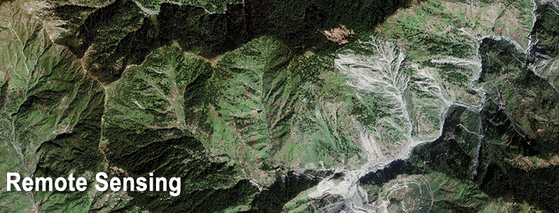
Scope of Work
- Auto DEM Extraction
- Orthorectification
- Pansharpening
- Image Mosaicing
- Atmospheric corrections
- Color Enhancement / LUT editing
- Tiling of the Image Mosaic
- Impervious feature extraction
- GIS Database creation and Integration
- Documentation files creation
- Image Classification including Hyperspectral Remote Sensing
Major Projects
FEASIBILITY STUDY OF EXPRESSWAYS
Scope of work: Feasibility study of new high speed lanes using Satellite image applications. The scope includes Automatic DEM extraction from IRS P-5 Cartosat-1 stereo image, DEM editing to required accuracy and Orthorectification. This project is first of its kind in the field of highway network study in India and SECON has executed these projects successfully. If the project is executed through traditional manual survey method, the time required for 380km will not be less than a year but the application of satellite has brought down the entire survey to less than 6 months.
Feasibility study of expressways include
- Mumbai – Vadodara (380 km)
- Delhi – Meerut (60 km)
- Bangalore - Chennai (325 km)
- Delhi - Jaipur(300 km)
- Land Use Classification and generation of base map for entire Gujarat state gas grid (200,000 sq km)
- Narmada Basin Topographic Mapping and Design (17000 sqkm)
- Morand and Ganjal complex Project in Narmada Basin