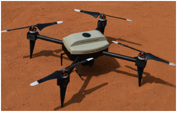
Scope of Work
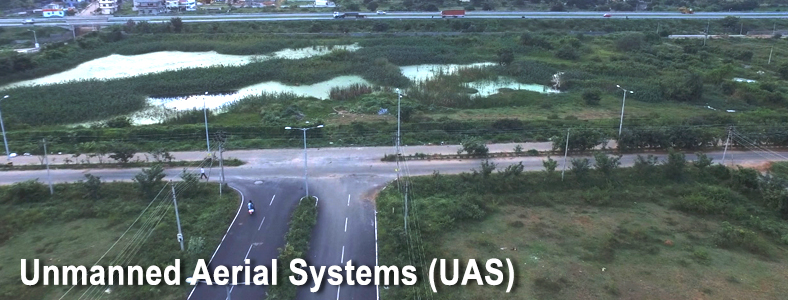
SECON and its Partners offer Aerial Photo Mapping services in India for all applications and across all terrains and areas from small city areas to large multi-state areas.
- Topographic Mapping
- Corridor Mapping - Road, Rail, Powerline, Pipeline, Canal
- Mining
- Disaster management
- Construction Monitoring
- 3D Modeling and Simulation
- Property mapping
- Agriculture and Forestry
- Archaeological Mapping and Assessment
- Surveillance
Major Projects
- Consultancy Services for Project Management Phase II including preparation of Detailed Project Report for up-gradation of Mohod-Kurval-Kamathe-Varunnagar-Aamgaon-Tandulwadi road to Two Lanes with paved shoulder/Four lane configuration in the State of Maharashtra