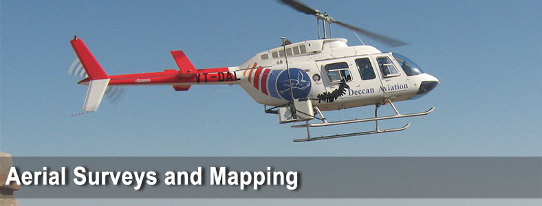
Scope of Work
- Aerial Photo Mapping
- Aerial LiDAR Mapping
- Airborne Geophysical Mapping
- 3D City and Feature Modeling
SECON offers a complete turnkey service for the above methods from providing the plane, cameras, sensors and trained manpower. SECON also provides survey and ground control, liaison with security agencies and DGCA and logistics required for the Airborne Mapping projects.
Major Projects
First Indian Airborne LiDAR Survey for Flood Impact Assessment in Rajasthan
Mobile LiDAR Data Acquisition for proposed Bangalore Mysore expressway.
Narmada Valley Development Authority Irrigation Project, India
SECON generated DTM and prepared a Base Map for 17,000 Sq Km catchment area in Narmada River Basin, India, using photogrammetric compilation from High Resolution Stereo Satellite Imagery combined with Ground Survey. This method was used for the first time in India over such a large area and the results achieved were a benchmark even for the satellite image provider.
Case Study
SECON Airborne Survey Experience
First private company in India to conduct Aerial LiDAR Survey in India
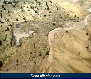
In August-2006, unprecedented flash floods occurred in Barmer district of Rajasthan, India severely affecting SECON’s client’s proposed surface facility areas of oil fields. Villages had stagnant water in the low-lying areas because of Gypsum-rich soil. Though engineers tried to in filter the water to sub surface, the gypsum prevented the water to seep in. The only way out was to drain out the water through evaporation. This became a major challenge for the project wherein all the engineering for the facilities were in the advanced stage. For the effective flood risk management, a detailed flood model study was carried out which required detailed topography survey of a substantial area within a shortest possible time. This data was crucial from the point of flood risk management
SECON suggested Aerial LiDAR survey coupled with ground survey to meet this requirement and successfully managed to provide the topographical details for the flood affected areas.